
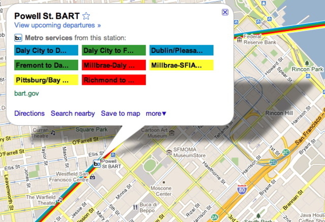
Edging ever closer to omnipotence, the big G has added real-time transit data to Google Maps. If you've ever tried to catch a bus or BART train based on Google's arrival in the past you probably noticed that those times were based off of scheduled arrivals, which we all know is a big cosmic joke when you're talking about Muni and BART. To fix that, Google has partnered with transit agencies in transit-geek cities like San Francisco, Boston, Portland, San Diego, Madrid and Turin.
Currently the real-time updates, which you can access from your mobile browser or desktop (but not the iPhone Maps app yet, sadly), are limited to BART delays. But the Muni data exists so we reckon it's only a matter of time before it all gets indexed, archived and accessible via your turbocharged pocket calculator.

Join the conversation
Comments
Comments load automatically as this section approaches.