Much like on Sunday and Tuesday, it's going to be nice and warm in San Francisco today, a full week and a half ahead of schedule for our usual September warming pattern.
Ready for actual summer, everybody? Because it appears to have begun a little early — and after an occasionally sunny and balmy July no less!
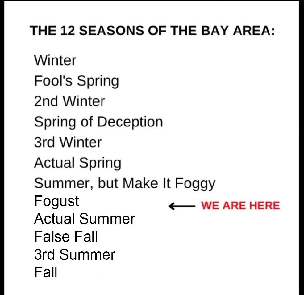
To illustrate, I have improved upon this well-worn meme:
Yes, the combination of tropical moisture and its aftermath and the spreading of that "heat dome" that has kept the rest of the country sweltering the last couple of weeks means that the Bay Area is getting what's likely to be one of the hottest days of the year Wednesday.
As the Chronicle's Gerry Diaz explains, "The recent flow of tropical moisture is breaking down the usual west winds that normally kick off 'Fogust' conditions on the bay shore. And like a broken A.C. unit, the marine layer isn’t able to provide the same level of cooling that residents in San Francisco and Oakland typically enjoy around this time of year."
So, the highs in San Francisco today are likely to be in the upper 70s and low 80s — fairly unusual for August, but would be pretty typical if this were mid- to late September.
And that means perfect beach or picnic weather if you can get away from your machines and get out there.
Up in the North Bay and down in the South Bay, things are even hotter, and in the inland East Bay you're looking at triple digits today — personally I'm happy for the proximity to a little coastal breeze.
Things cool off a little bit on Thursday, but the weekend is looking nice and sunny as well. As we bid farewell to the Burning Man folk for a few days, San Franciscans and Oaklanders should be sitting pretty in some lovely weather, with afternoon highs around 68 or 70.
Be grateful that Fogust may indeed be gone early, but don't be surprised if it pops back in for one last goodbye!
Photo: karandaev/Getty Images