
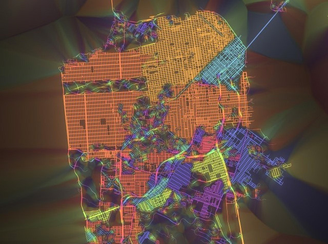
This new map of the city by cartographer Stephen Von Worley depicts the streets of San Francisco in all their many colliding grid formations and the tangled mess that is Twin Peaks. The concept behind the map is that it shows the various grids and their relative closeness to predictable, cardinal directions, as Curbed tells us. So, if a particular grid of streets, like in the Mission or in the Sunset, is pretty close to north-south/east-west alignment, it will appear red. The more the streets diverge from those directions, the more the colors change.
Thus you get the twisty rainbow effect in the Presidio and all around Twin Peaks.
Worley has actually done the same thing for New York, Boston, Tokyo, and a bunch of other cities, which you can see here. Fun, right?

Join the conversation
Comments
Comments load automatically as this section approaches.