The promise of very gusty winds came true Tuesday afternoon, complete with more glass flying off a downtown SF building, and satellite imagery of the cyclonic storm that slammed the California coast is pretty dramatic.
Today's storm came with a very windy punch, and we can probably expect some more down-tree alerts to arrive in the next hour or two. As of 4 p.m., we just saw one alert come through for an "obstruction" at California and Davis streets in the Financial District, which appears to be falling glass from 50 California Street. NBC Bay Area reported on shards of glass falling from the high-rise, and what appears to be a puncture in a larger glass pane on the 20th floor.
#BREAKINGNEWS A window on the 20th floor of 50 California has been blown out. Wind gusts are very strong here with people having difficulty walking at times. Sacramento Street has been closed on the north side of the building as a precaution. pic.twitter.com/hwl4XLK51N
— Sergio Quintana (@svqjournalist) March 21, 2023
An "obstruction" has also been reported at Polk and Post streets.
Castro resident Violet Blue tweeted at 3:53 p.m. that the wind "just slammed trash cans into the parked cars in front of my flat hard enough to set off car alarms."
Weather West's Daniel Swain just tweeted "Whoa" along with the radar image of the cyclone hitting the Bay Area, the eye of the storm making about a direct hit with San Francisco.
Uh, whoa. #CAwx https://t.co/6SfzrDIjuX pic.twitter.com/ChwaDG8Vlz
— Daniel Swain (@Weather_West) March 21, 2023
The Chronicle's Gerry Diaz said this was not, technically, a "bomb cyclone" because it did not reach the exact barometric specifications. But it "did see a dramatic drop in pressure, falling below 990 millibars" which "means it got close to reaching the benchmark that would’ve made it a bomb cyclone."
Unbelievable satellite imagery of one of the most intense March cyclones on record for California with the eye of the storm making landfall near San Francisco.
— Colin McCarthy (@US_Stormwatch) March 21, 2023
Amazing. pic.twitter.com/nW4cmNmiSL
Wind-gust measurements are probably going to be coming in later, but the National Weather Service noted the strongest gust recorded so far was 78 miles per hour in the Santa Cruz Mountains.
PG&E's outage map shows multiple power outages around San Francisco and all the way down the Peninsula, with one significant outage, marked as over 5,000 customers, in the southwestern quadrant of SF near Daly City.
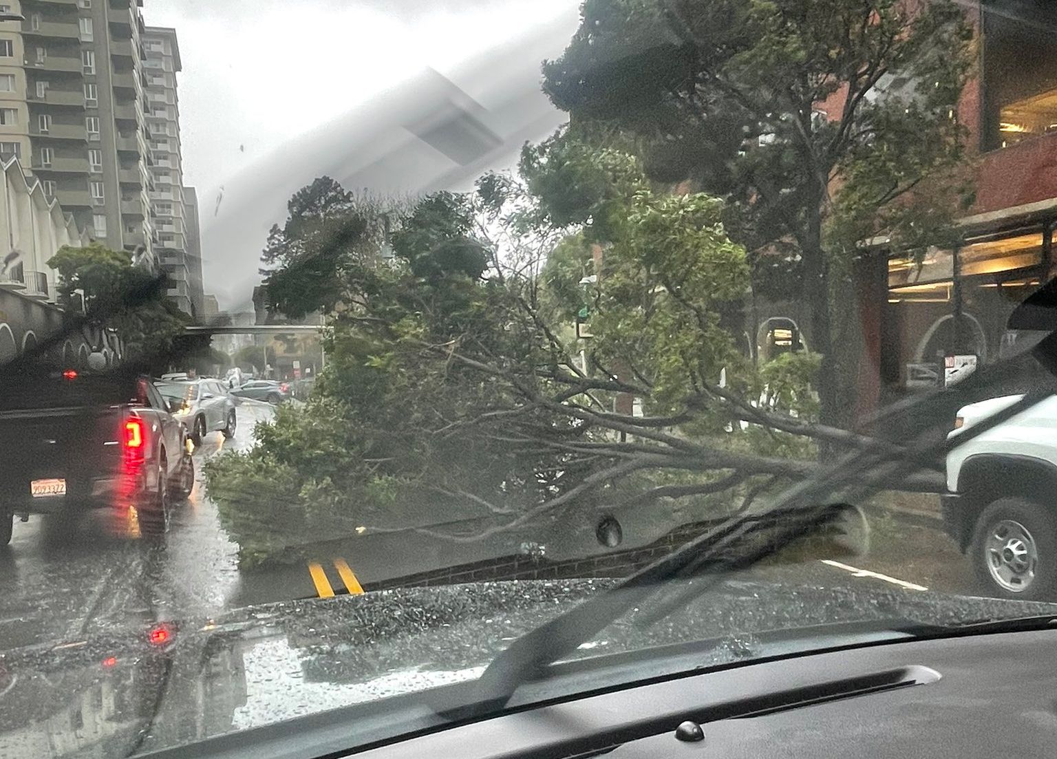
Here's one photo of a tree down on Jackson Street in the FiDi: