The Dixie Fire exploded Thursday night on two fronts, burning north around the town of Chester and into Lassen National Forest, and burning in the direction of the town of Susanville in Lassen County. And now the view from Susanville is as Martian as that orange-sky day we had in SF last fall.
The Dixie Fire grew by 110 square miles, or 70,000 acres, between Thursday and Friday, becoming the third largest wildfire in state history. And it's now official that the seven biggest fires in state history have all happened in the last three years.
Wildfire smoke is once again blanketing much of the state, though on the San Francisco Peninsula we're being protected somewhat by the marine layer and onshore wind flow. The National Weather Service has just tweeted animated GIFs showing the surface smoke forecast, and aloft smoke over the next two days.
Surface smoke:
As popularly requested, here is the latest hi-resolution forecast for NEAR SURFACE smoke through the next 44 hours. Another loop for suspended smoke at roughly ridge level will follow shortly. NEAR SURFACE smoke is more important to focus on. pic.twitter.com/6maez58bLO
— NWS Bay Area (@NWSBayArea) August 6, 2021
Atmosphere smoke:
Here is a loop of the FULL COLUMN smoke through the next 44 hours. This is smoke that will mostly be suspended and not immediately impact the surface level, but can obscure the sky and dull the sun. Useful for seeing trends and capturing dramatic smoky sunrise/sunset pictures. pic.twitter.com/EvjXVWNHmL
— NWS Bay Area (@NWSBayArea) August 6, 2021
And here's a different illustration via a satellite picture:
As expected, smoke has arrived from the north and is over the area this morning. Yet, most of this smoke is suspended in the mid levels with less near the surface.
— NWS Bay Area (@NWSBayArea) August 6, 2021
This morning's geocolor imagery shows both smoke and stratus over the region. Can you spot the differences? pic.twitter.com/whGfWYnVFf
Things are pretty clear around SF, though the North Bay and East Bay might be hazier/smokier today.
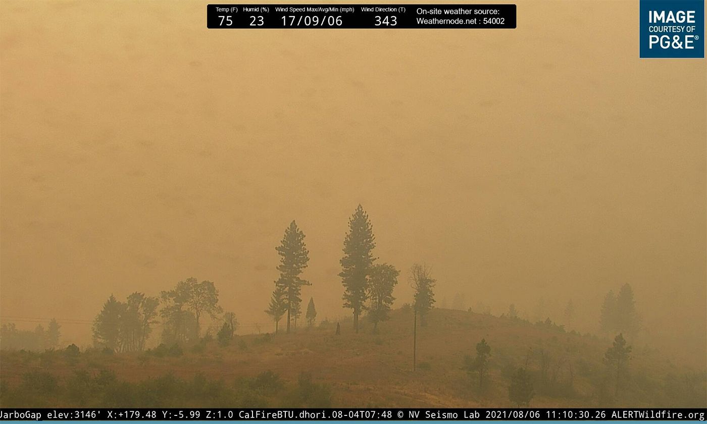
The current view from Jarbo Gap in Butte County isn't so great:
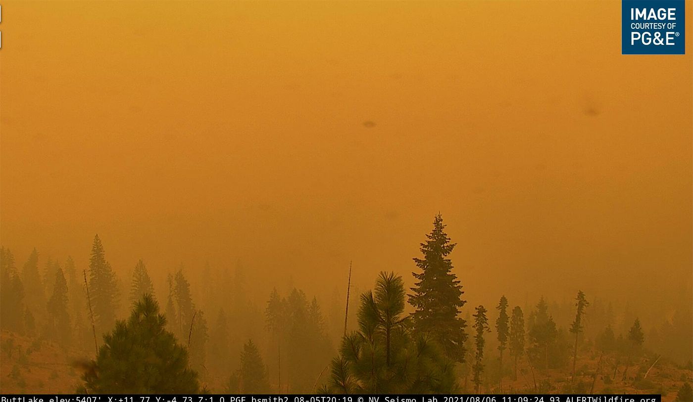
And this is the view from PG&E's ALERTWildfire camera at Butt Valley Reservoir in Plumas County:
On Thursday, this was what the Susanville camera looked like at one point — and KTVU has a timelapse video of the smoke rising from the Dixie Fire and obscuring the sun at this spot.

Katrina Brackett, who posted a video to Storyful of the smoke from Susanville, noted that many people who survived the Camp Fire in Paradise three years ago relocated to this area, to the town of Greenville (which was leveled by the Dixie Fire on Wednesday), and the town of Chester which is now surrounded by fire.
As of Friday morning, the fire had burned 432,800 acres, and was 35% contained.